Saranac, Paul Smiths: Adirondack Park Map (National Geographic Trails Illustrated Map, 746)
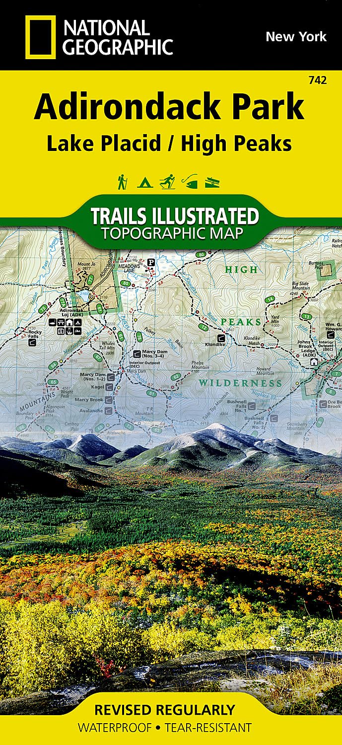
Lake Placid/high Peaks, Adirondack Park: Trails Illustrated Other Rec. Areas (National Geographic Trails Illustrated Map) Map – Folded Map, 2 Aug. 2012
Adirondack Park [Map Pack Bundle]: Trails Illustrated Other Rec. Areas (National Geographic Trails Illustrated Map)
Lake Placid & Saranac Lake Cycling Map | Adirondacks Hiking & Trail Map | Cycling Routes from Paul Smiths to Keene Valley and Around Whiteface Mountain | Durable, Waterproof & Tear Resistan
Adirondack Region / North Country New York State, New York Regional Map
Lake George, Great Sacandaga: Adirondack Park Map (National Geographic Trails Illustrated Map, 743)
The Trails of the Adirondacks: Hiking America's Original Wilderness
Lake Placid, High Peaks: Adirondack Park Map (National Geographic Trails Illustrated Map, 742)
Old Forge, Oswegatchie: Adirondack Park Map (National Geographic Trails Illustrated Map, 745)
Adirondack Park Map & Illustrated Trails: Guide to Hiking and Exploring Adirondack Park
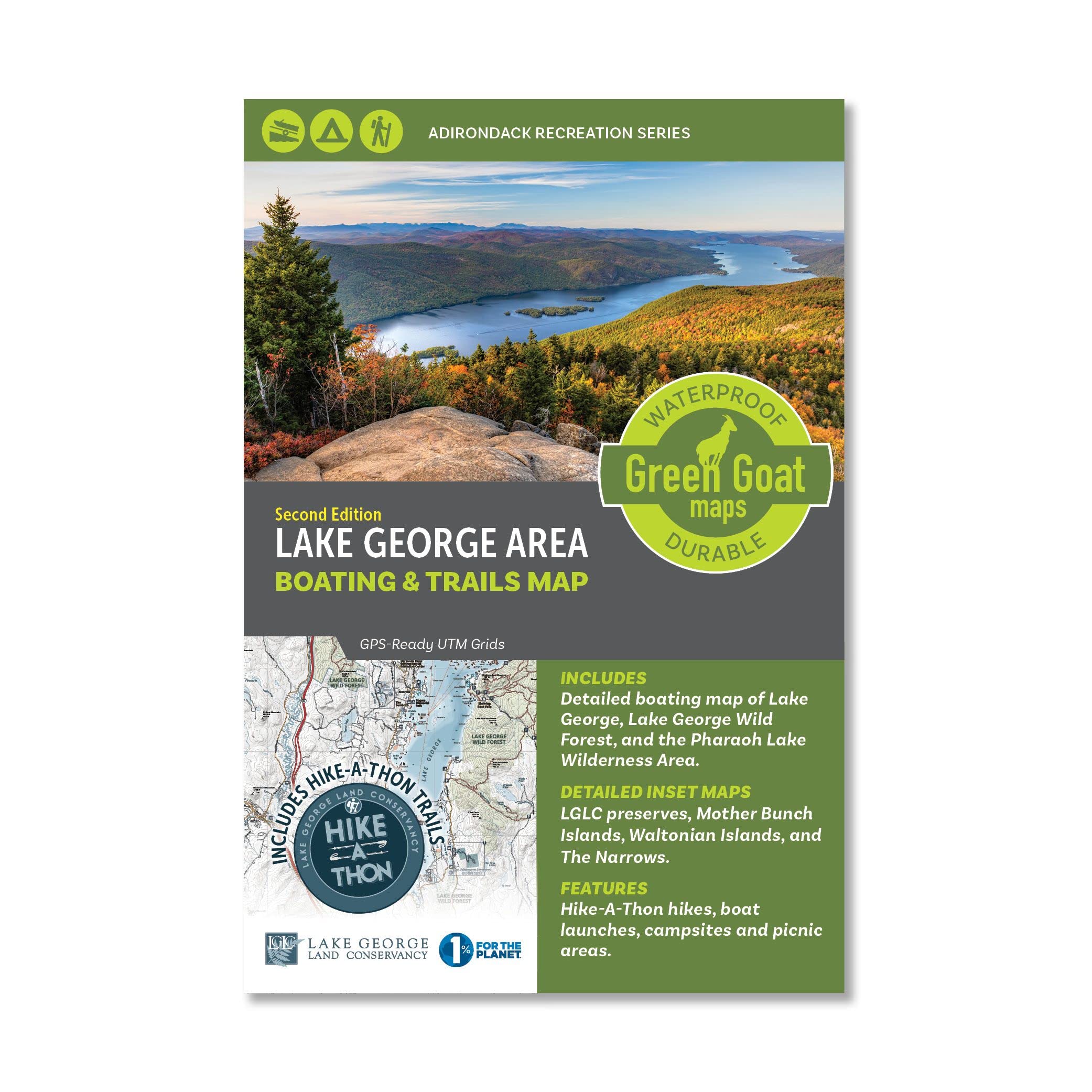
Lake George Boating & Trails Map | Adirondack Lake Hiking Map - Lake George, Paradox Lake, Schroon Lake, Brant Lake and Pharaoh Lake Wilderness Area | Durable, Waterproof & Tear Resistant
Exploring the 46 Adirondack High Peaks: With 282 Photos, Maps & Mountain Profiles, Excerpts from the Author's Journal, & Historical Insights
ADK Forty-Sixer: Adirondack 46 High Peaks Personal Logbook for Hikers!
Northville, Raquette Lake: Adirondack Park Map (National Geographic Trails Illustrated Map, 744)
The Opening of the Adirondacks: With a Map and Illustrations (Classic Reprint)
Ausable River Fly Fishing Map | Adirondack High Peaks Map - East Branch and West Branch | Includes Fishing Pools and Nearby Ausable River Hiking Trails | Durable, Waterproof & Tear Resistant
Asher & Adams' New Map & Guide of the Hudson River, Adirondack and Catskill Mountains ...
Best Easy Day Hikes Adirondacks, Second Edition (Falcon Guides Best Easy Day Hikes)
Adirondack Park [Map Pack Bundle] (National Geographic Trails Illustrated Map)
Report on a Topographical Survey of the Adirondack Wilderness of New York. [With a Map.]
Best Easy Day Hikes Adirondacks (Falcon Guides Best Easy Day Hikes)
Adirondack Trails High Peaks Region/with Map (Forest Preserve Series)
Adirondack Park Topo Map Pack National Geographic Waterproof Topographic Trail Maps New York Adirondacks
Lake George Boating & Trails Map | Adirondack Lake Hiking Map - Lake George, Paradox Lake, Schroon Lake, Brant Lake and Pharaoh Lake Wilderness Area | Durable, Waterproof & Tear Resistant
Adirondack Park Map & Illustrated Trails: Guide to Hiking and Exploring Adirondack Park
South Pembrokeshire / De Sir Benfro Map | Pembrokeshire Coast National Park | Ordnance Survey | OS Explorer Map OL36 | Wales | Walks | Hiking | Maps | Adventure
Adirondacks Vintage-Style Map Art Print Poster by Lakebound (12" x 18").
Adirondack Region / North Country New York State, New York Regional Map
Adirondack map: Campgrounds, golf courses, fishing sites, trail heads, ski areas, beaches, etc., detailed maps of Lake Placid, Lake George ... & others
ADIRONDACKS TRAVEL GUIDE 2024: The Complete Handbook to Exploring Adirondacks Beautiful Sights, History, Food, and Culture.
Adirondacks Old Forge Area Outdoor Adventure Map | Old Forge Trail Map - Blue Mountain Lake NY | Includes trail maps of Fern Park and Maple Ridge Trails | Waterproof & Tear Resistant
Best Maps Ever Adirondack Fire Tower Challenge Map 11x14 Print (Sage)


![Adirondack Park [Map Pack Bundle]: Trails Illustrated Other Rec. Areas (National Geographic Trails Illustrated Map)](https://m.media-amazon.com/images/I/81xmHcTIZxL.jpg)


![Adirondack Park [Map Pack Bundle] (National Geographic Trails Illustrated Map)](https://m.media-amazon.com/images/I/51PAzPrs0GL.jpg)
![Report on a Topographical Survey of the Adirondack Wilderness of New York. [With a Map.]](https://images-eu.ssl-images-amazon.com/images/I/41BUvomIPLL.jpg)


