
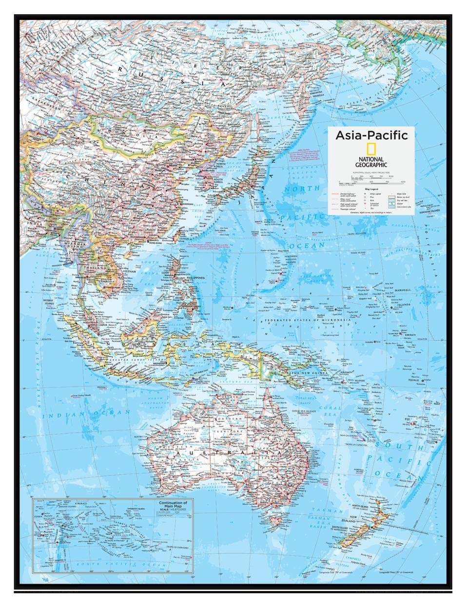
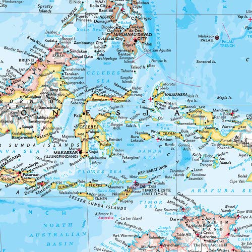
This map of political features can fit in any space. Showcasing Asia-Pacific in stunning detail with state-of-the-art cartographic techniques delivering accuracy and exceptional quality, the innovative and engaging design makes the content easily accessible and user-friendly.Ideal for classrooms with an emphasis on teaching geography or environmental themes. The inclusion of physical features in this map gives your students a genuine feel for how our world appears.This political map of Asia-Pacific uses a bright, easy to read color palette featuring blue oceans and stunning shaded relief that has been featured on National Geographic wall maps for over 75 years. Drawn in the Drawn in the Azimuthal Equidistant projection, this map ensures that all points are at proportionally correct distances from the center point.Names of geographic features such as international boundaries, cities, rivers and lakes are carefully placed on the map to maintain legibility. National Geographic's maps are the standard by which all other reference maps are measured. The maps are meticulously researched and adhere to National Geographic's convention of making independent, apolitical decisions based on extensive research using multiple authoritative sources.This map is found in National Geographic's 10th Edition World Atlas, published to mark the 100th anniversary of National Geographic Cartography, and is now available as a stand alone product.Printed on high quality thick paper strong enough for display on your wall.Your map is rolled and packaged in a sturdy tube to protect it during shipment.
Trustpilot
2 months ago
1 month ago