
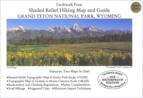
Shaded Relief Hiking Map and Guide of Grand Teton National Park, WY.Shaded Relief Topographic Map of the Entire Park (Scale 1:72500)Topographic MAp of Granite to Moran Canyons (Scale 1:48000)Backcountry and climbing regulations, trail milege and suggestions of how to enjoy your visit with minimum impact into the delicate park ecology.Printed on waterproof and tear resistant material.
Trustpilot
5 days ago
1 month ago