Your Maps And Atlases Search Ends Here
Exceptional quality, unbeatable prices—find Maps And Atlases that exceed expectations.
Philip's RGS World Atlas (A4): with Global Cities, Facts and Flags (Philip's World Atlas)
2025 Philip's Big Road Atlas of Europe: (A3 Spiral Binding) (Philip's Road Atlases)
Rand McNally United States Interstate Fold Map Map – Folded Map, March 1, 2024
Collins Children’s Picture Atlas Hardcover – Atlas, 18 April 2019
Rand McNally Midsize Easy to Read Road Atlas 2025
Philip's RGS World Atlas (A4): with Global Cities, Facts and Flags
World Map Poster for Wall – 84 x 60cm Large Wall Map of World – World Map Wall Art Atlas - Map of Europe Travel Map - Classroom or Geography Gift
School Student World Atlas Map Book English Latest Edition from InIkao
2025 Philip's Big Easy to Read Britain Road Atlas: (A3 Spiral Binding) (Philip's Road Atlases) Spiral-bound – 4 April 2024
Collins Primary Atlas Paperback – Atlas, 3 February 2022
National Geographic Road Atlas 2025: Scenic Drives Edition [United States, Canada, Mexico] (National Geographic Recreation Atlas)
National Geographic Road Atlas 2025: Adventure Edition [United States, Canada, Mexico] Spiral-bound – June 10, 2024
Rand McNally 2025 Road Atlas (Rand McNally Road Atlases)
Rand McNally Large Scale Road Atlas 2025 Spiral-bound – Folded Map, March 14, 2024
Rand McNally 2025 Road Atlas & National Park Guide
National Geographic NG Compact Atlas of the World
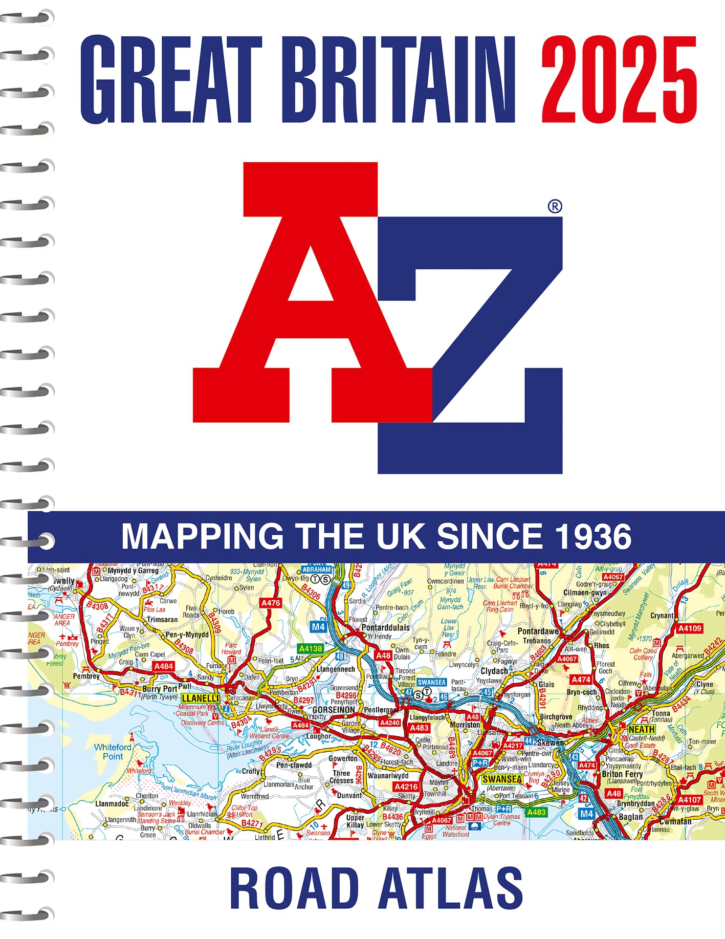
Great Britain A-Z Road Atlas 2025 (A4 Spiral) Spiral-bound – 28 Mar. 2024
National Geographic Concise Atlas of the World, 5th edition: Authoritative and complete, with more than 200 maps and illustrations
2025 Collins Handy Road Atlas Britain and Ireland: A5 Spiral (Collins Road Atlas)
Collins World Atlas: Complete Edition Hardcover – 10 Oct. 2024
The Times Desktop Atlas of the World (Times Atlas, 6)
California Road & Recreation Atlas - 12th Edition, 2024 Spiral-bound – January 1, 2024
What's Where on Earth? Atlas: The World as You've Never Seen It Before!
Merriam-Webster’s Student Atlas - Features full-color physical, political, & thematic maps Paperback – Student Edition, August 15, 2022
Discover Planet - India Tourist Road Atlas (English) Paperback – 31 December 2020
Collins World Wall Paper Map
Atlas & Green Scratch Off World Map Large 70x42cm | Ultra Detailed World Map Poster - All US States. Scratch Map World Accessories Kit Gift Tube. Travel Journal Wall Art - Deluxe Cartographic Map
Rand McNally Road Atlas & National Park Guide 2024: United States Canada Mexico Spiral-bound – Atlas, August 1, 2023
Oxford Student Atlas for India | 5th Edition | For UPSC and Competitive Exams | Latest Edition Paperback – 20 January 2024
Oxford Student Atlas for India, Fourth Edition - Useful for Competitive Exams Paperback – 1 January 2022
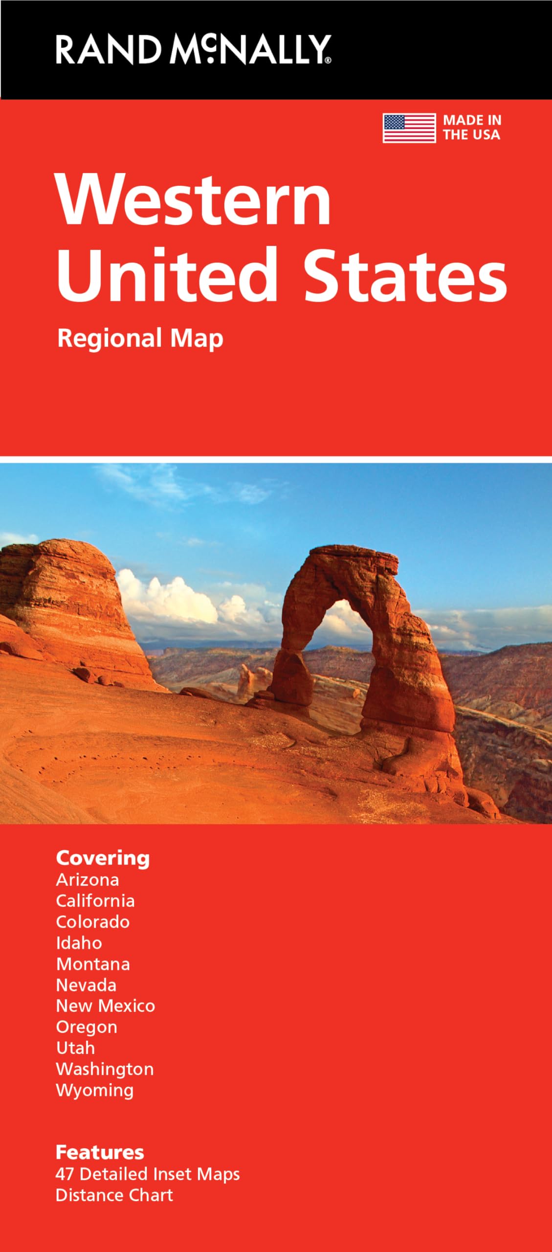
Rand McNally Folded Map: Western United States
Collins World Atlas: Complete Edition
World Atlas Sticker Activity Book: Over 200 Stickers Paperback – Big Book, 30 May 2019
MAP ATLAS GLOBE INDIAN MAP & WORD MAP BY KHAN SIR Unknown Binding – 1 January 2023
Collins World Atlas: Essential Edition
Webster's International Atlas, Third Edition, Newest Edition
Oxford School Atlas 37th Edition | NEP Aligned Paperback – 21 September 2022
Collins World Atlas: Complete Edition
Rand McNally 2025 Deluxe Motor Carriers Road Atlas (Rand McNally Motor Carriers' Road Atlas DELUXE EDITION)
Granta Books Brilliant Maps: An Atlas for Curious Minds
National Geographic Kids My First Atlas Of The World: A Child'S First Picture Atlas
Pegasus World Atlas: A Journey Around the World - Discovering Countries, Cultures, Landmarks, and Geography in the Ultimate World Atlas for Kids Paperback – 4 November 2014
History of the World Map by Map Hardcover – Big Book, 4 October 2018
Collins World Atlas: Paperback Edition
Atlas & Green Scratch World Map + Scratch Map Europe Detailed Scratch World Map for Scratching in Mist Watercolour Map and Gift Tube
Scratch Off World Map A3 Travel Size (42 x 29.7cm) + BONUS A4 UK Map - with Accessories Kit and Gift Tube - Deluxe Cartographic design by Atlas&Green
National Geographic Atlas of the World Eleventh Edition Hardcover – Big Book, 1 October 2019
Atlas and Jigsaw Map of the World
The Sky Atlas: The Greatest Maps, Myths and Discoveries of the Universe
Philip's RGS World Atlas: (Hardback 23rd Edition)
Simon & Schuster Ltd The Phantom Atlas: Greatest Myths, Lies and Blunders on Maps
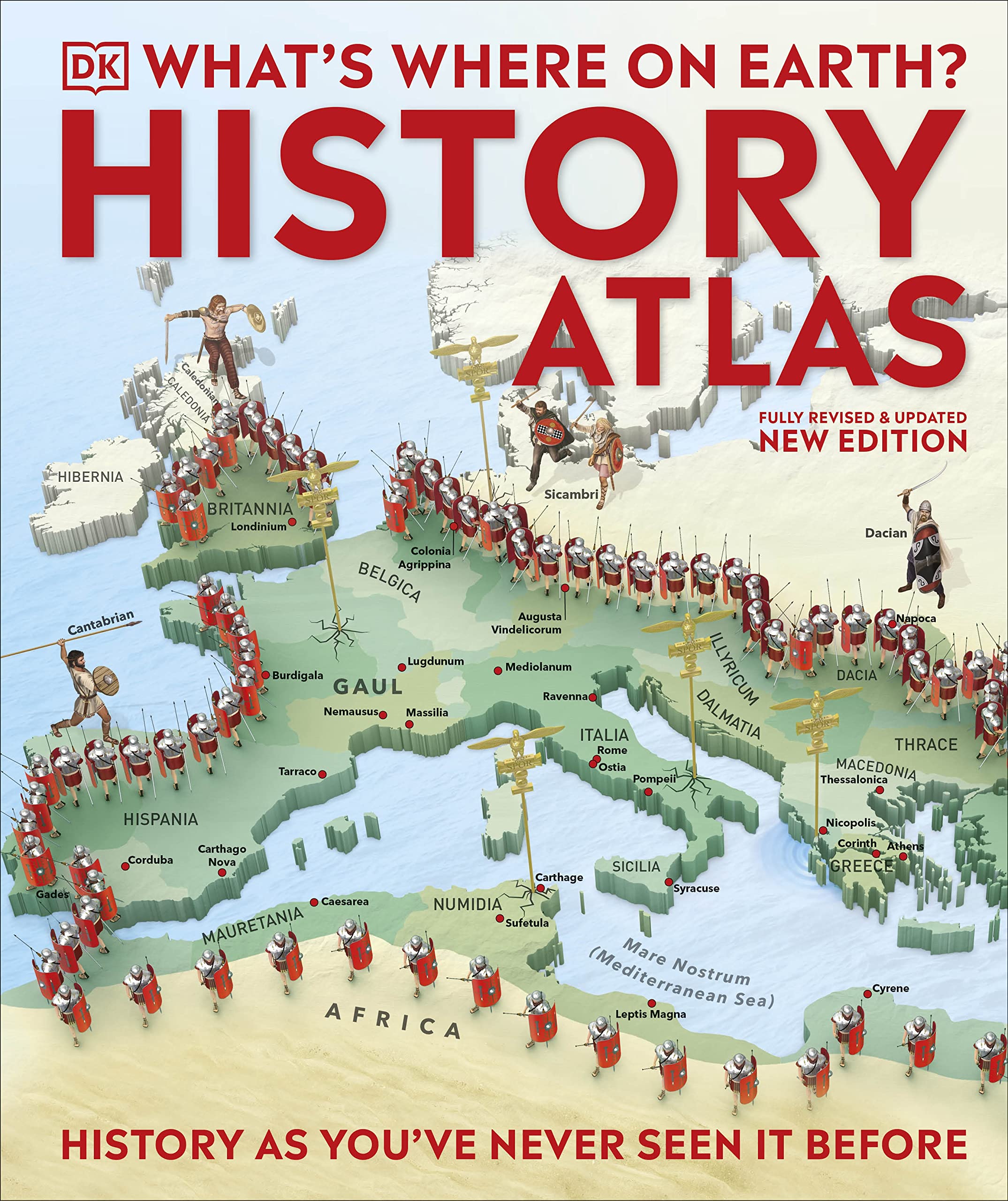
What's Where on Earth? History Atlas: History as You've Never Seen it Before Hardcover – Atlas, 2 March 2023
Philip's Compact Atlas Europe: A5 Spiral binding
PENGUIN Children's Illustrated History Atlas
Collins World Atlas: Illustrated Edition
The Times Comprehensive Atlas of the World
2025 Philip's Big Road Atlas of Europe: (A3 Spiral Binding)
Collins World Wall Laminated Map
National Geographic Kids Ultimate Globetrotting World Atlas
National Geographic Road Atlas 2025: Adventure Edition [United States, Canada, Mexico]
Children’s Wall Map of the United Kingdom and Ireland
Beginner's World Atlas, 5th Edition
Philip's RGS Infant School Atlas: For 5-7 year olds
The Times Desktop Atlas of the World
National Geographic Concise Atlas of the World, 5th Edition: Authoritative and complete, with more than 250 maps and illustrations.
Peters World Map, Laminated
Great Britain A-Z Super Scale Road Atlas 2025 (A3 Spiral)
Lift-the-Flap Picture Atlas
Philip's RGS Essential School Atlas
KGS Publication Map Atlas Globe Indian Map & World Map By Khan Sir Paperback – 1 January 2024
Collins First Atlas: Ideal for learning at school and at home (Collins School Atlases) Paperback – 3 Mar. 2022
2025 Collins Road Map of Britain: Folded Road Map (Collins Road Atlas)
Collins World Atlas: Mini Edition
Faithful Prints World Map Poster Atlas Print Geography Educational Classroom Chart (A3 (297 x 420mm))
India & World Map ( Both Political & Physical ) with Constitution of India, Indian History, Indian Economy & Geographical Terms Chart | Set Of 8 | Useful for UPSC and other competitive exam preparation | by Hivex Publication Product Bundle – Wall Map, 30 December 2021
Collins School Atlas: Ideal for learning at school and at home (Collins School Atlases)
World Political Map : Map For Students (30 Inches X 20 Inches)
National Geographic Student World Atlas, 6th Edition
ATLAS FOR LITTLE LEARNERS EDITION 2015_UPDATED J&K MAP
Philip's Maps2025 Philip's Easy to Read Multiscale Road Atlas Europe: (A4 Spiral binding) (Philip's Road Atlases)
Philip's France and Spain Road Atlas: A4 Spiral (Philip's Road Atlases)
Map Atlas Globe Combo (Indian Map & World Map) Khan sir Notes


![National Geographic Road Atlas 2025: Scenic Drives Edition [United States, Canada, Mexico] (National Geographic Recreation Atlas)](https://m.media-amazon.com/images/I/814R4OsGtCL.jpg)
![National Geographic Road Atlas 2025: Adventure Edition [United States, Canada, Mexico] Spiral-bound – June 10, 2024](https://m.media-amazon.com/images/I/81rRihqWqgL.jpg)


![National Geographic Road Atlas 2025: Adventure Edition [United States, Canada, Mexico]](https://m.media-amazon.com/images/I/61JYN+sVvXL.jpg)


