Upgrade Your Wardrobe with State Maps Essentials
Explore the finest State Maps products crafted for quality, innovation, and style.
Rand McNally Folded Map: United States
USA States and State Capitals Map - A3 (30cm x 42cm) Childrens Wall Chart Educational Kids Childs Poster Art Print WallChart
Imagimake: Mapology India With State Capitals –Learn Indian States Along With Capital- Fun Jigsaw Puzzle – Educational Toy For Kids Above 5 Years
The 50 States: Explore the U.S.A. with 50 fact-filled maps!
Rand McNally Easy To Read Folded Map: Ohio State Map
Talking Tables 1000-piece USA Jigsaw Puzzle with Poster-50 States Map-Illustrated American Landmarks-Fun at Home Family Activities, Birthday Present, Travel Gifts, Wall Art, PUZZLEUSA
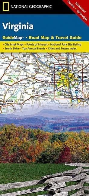
Rand McNally Easy to Read Folded Map: Virginia State Map
Palace Learning Laminated USA Map - 18" x 29" - Wall Chart Map of The United States of America - Made in The USA - Updated (Laminated, 18" x 29")
Ledes Scratch Off Map of The World Extra Large Size Scratchable Travel Wall Art World Map Poster US States & Country Flags with Scratch Art Tool Vibrant Colors Under Gold Scratch-Off Layer- 32''x23''
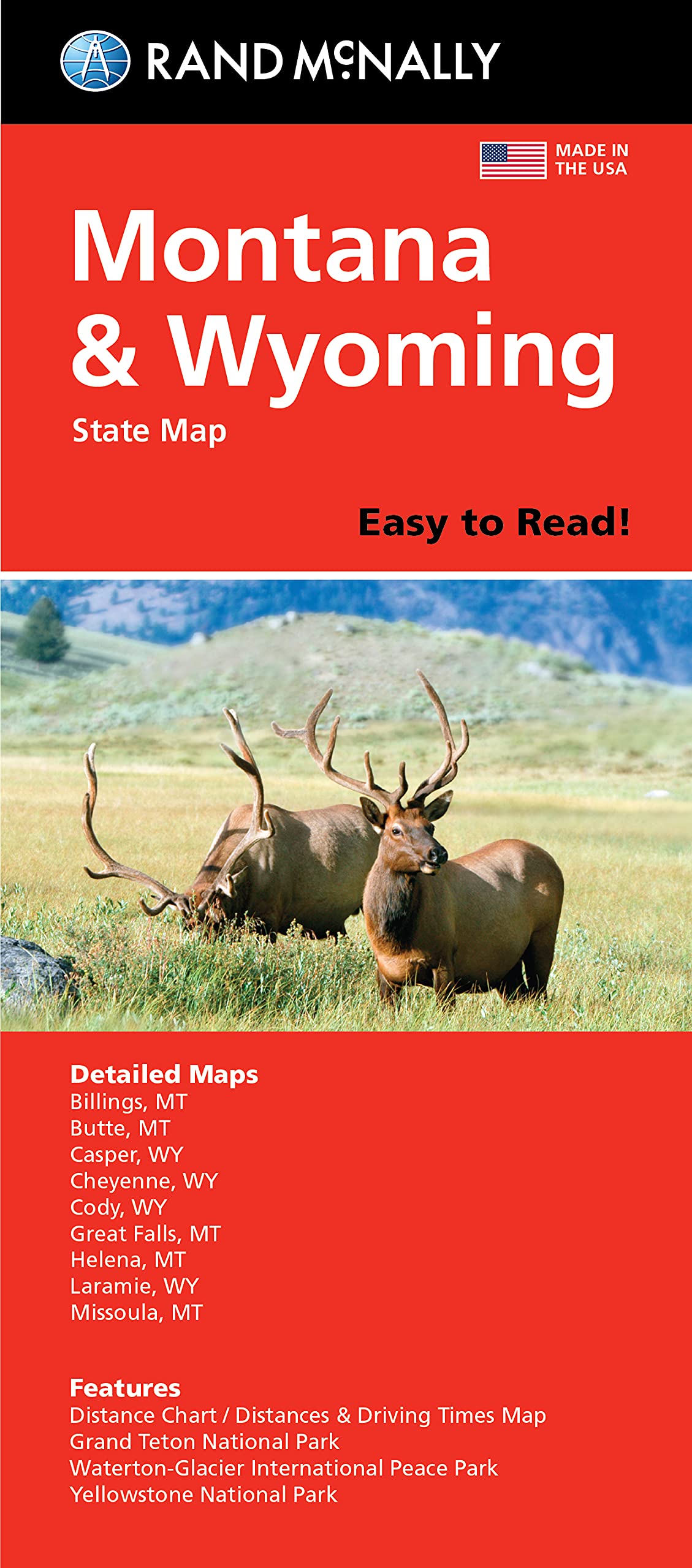
Rand McNally Easy To Read Folded Map: Montana & Wyoming State Map
National Geographic Road Atlas 2025: Adventure Edition [United States, Canada, Mexico] Spiral-bound – June 10, 2024
Imagimake: Mapology India- States of India- Play and Learn India Map in Puzzle- Jigsaw Puzzle- Educational Toy- for Boys & Girls
Baltic States - Michelin National Map 781 (Michelin National Maps)
Imagimake Mapology India with State Capitals - Educational Toy and Learning Aid for Boys and Girls - India Map Puzzle - Jigsaw Puzzle, 25 Pieces, Kids
Close Up XXL USA Map Premium Poster - Giant America Map with all States 55" x 39" MAPS IN MINUTES
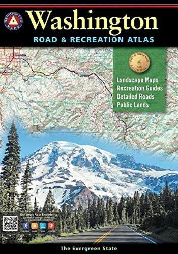
Washington Road & Recreation Atlas (Benchmark Recreation Atlases) 9th Edition: The Evergreen State (Benchmark Maps)
Rand McNally Easy To Read Folded Map: Tennessee State Map
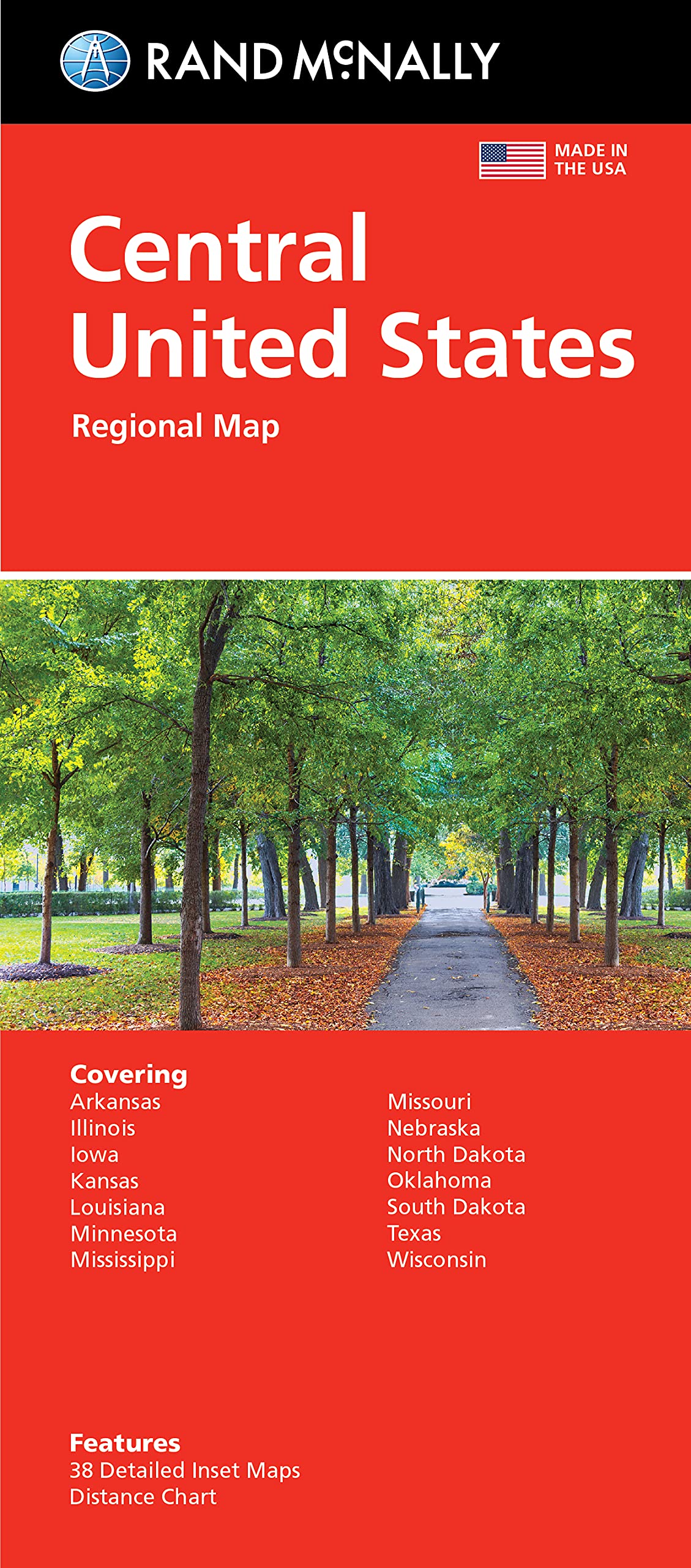
Rand McNally Folded Map: Central United States Map
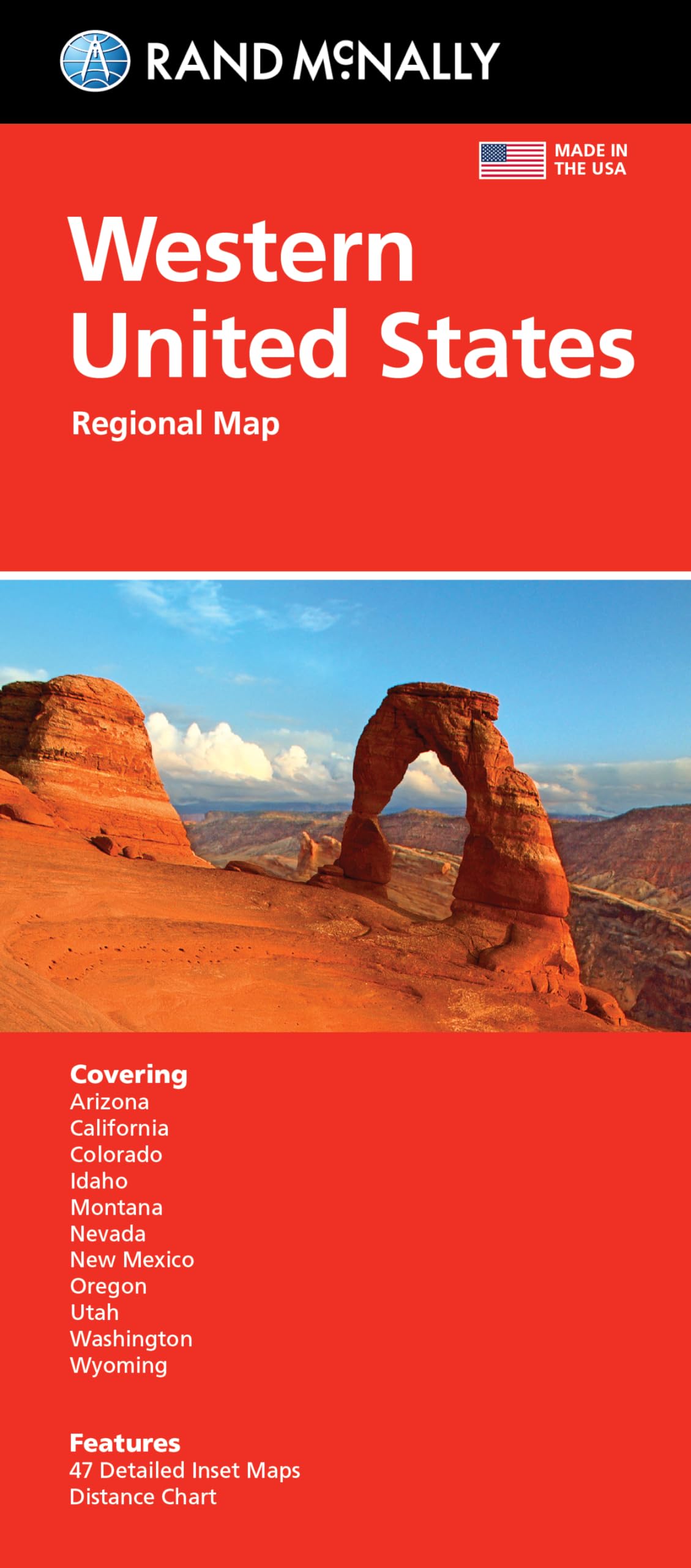
Rand McNally Folded Map: Western United States Map – August 27, 2021
United States, Pacific NW Map (National Geographic Adventure Travel Map)
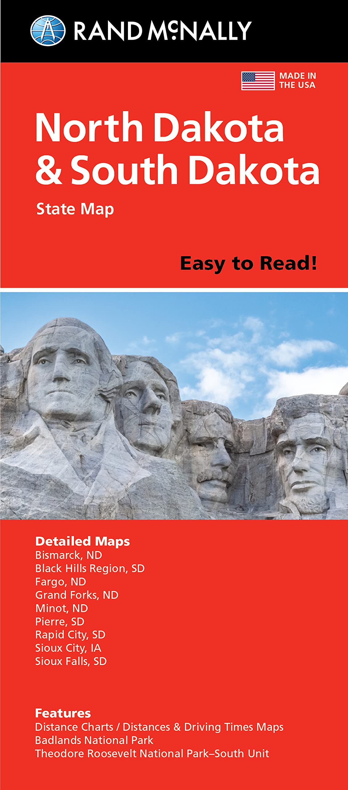
Rand McNally Easy To Read Folded Map: North Dakota, South Dakota State Map
Marco PoloEstonia, Latvia, Lithuania Map
Imagimake Mapology United States & World Map Puzzle with Flags, Capitals and Stickers | Educational Toys for Kids 5-7 | Learn Geography Puzzles for Kids ages 8-12 | Easter Gifts for Kids | Easter Toys
ORFOFE Wear-Resistant World Map Poster for Kids - Educational Preschool Cognitive Learning Sheet - Random Style Children's Household Decor
Bihar Map | English | 70 x 100 cm | Laminated
Rand McNally Easy to Read Folded Map: Florida State Map (English and English Edition) Map – Folded Map, August 6, 2021
United State Map Laminated Poster -Double Side Educational Poster For Kids/Adults -18 x 24 inch Waterproof Map For Home Classroom
Black Olive Indian Map Puzzle Game- India Map with State Capitals Jigsaw Puzzle Board Game, Learning & Educational Puzzle Game for Kids Boys Girls (Multicolor, Pack of 1 Puzzle)
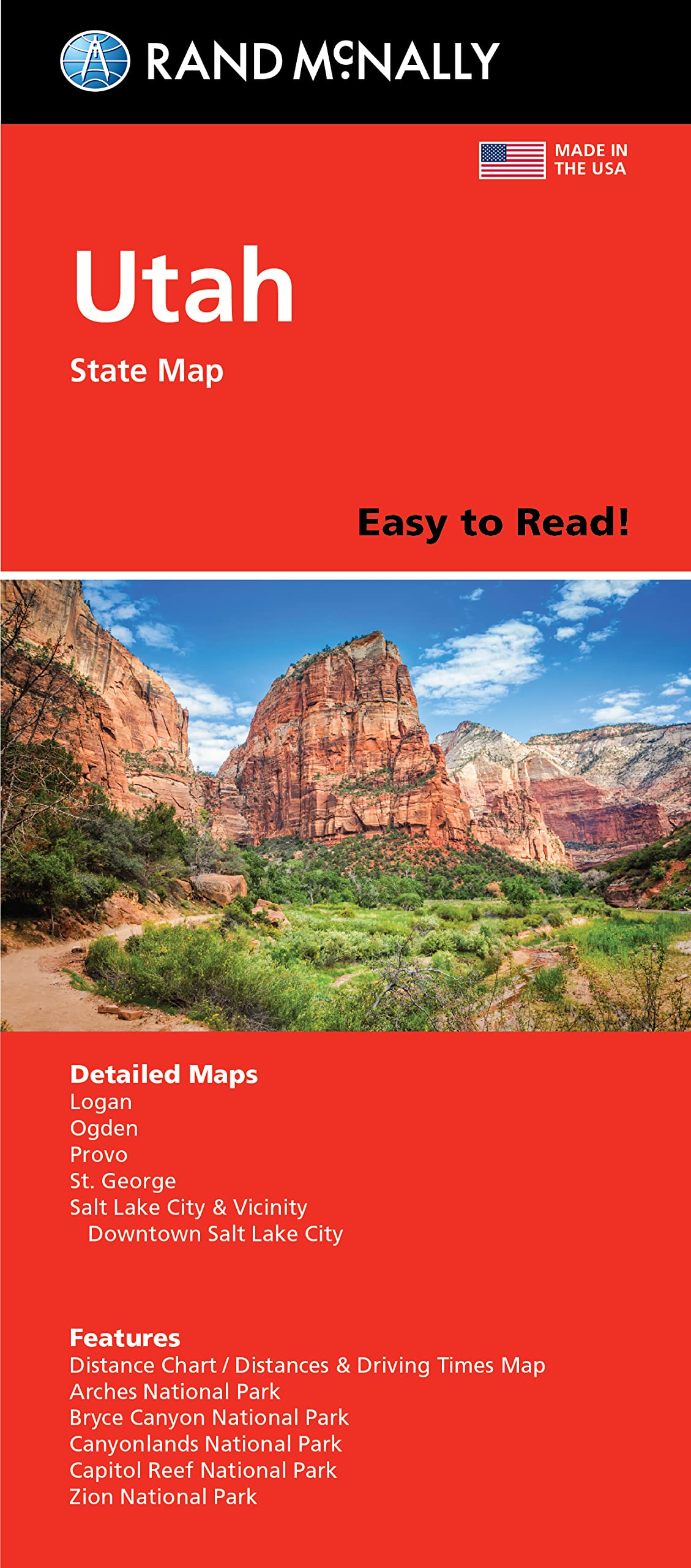
Rand McNally Easy To Read Folded Map: Utah State Map
Rand McNally Easy To Read Folded Map: Idaho State Map
Melissa & Doug USA Map Wooden Puzzle (45 pcs)
Rand McNally Easy To Read Folded Map: Arizona State Map
Webby Wooden Educational India Political Map States Capital Learning, Board Puzzle for 4, 5, 6, 7, 8 Year Old Kids
United States of America Map Learning Mat
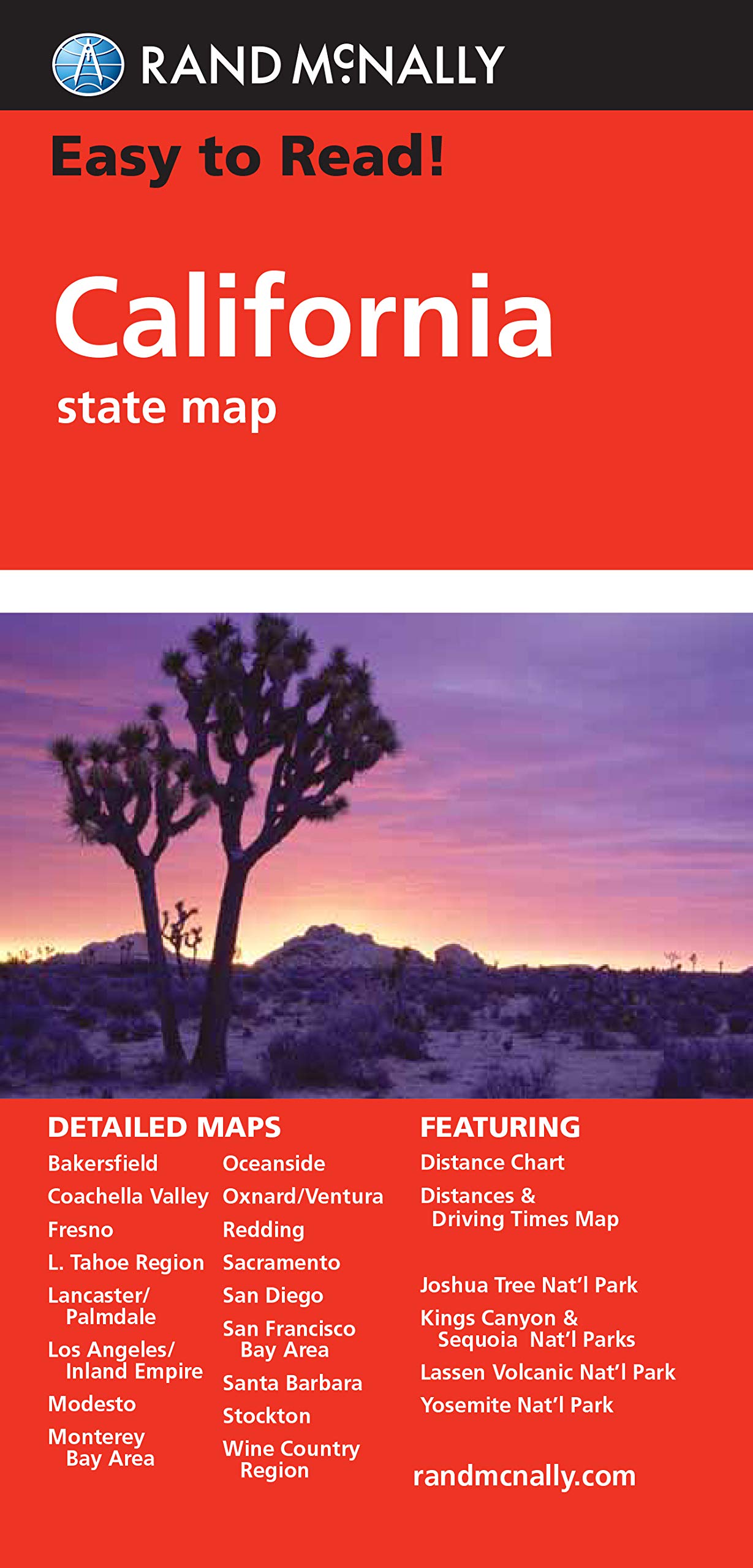
Rand McNally Easy to Read: California State Map
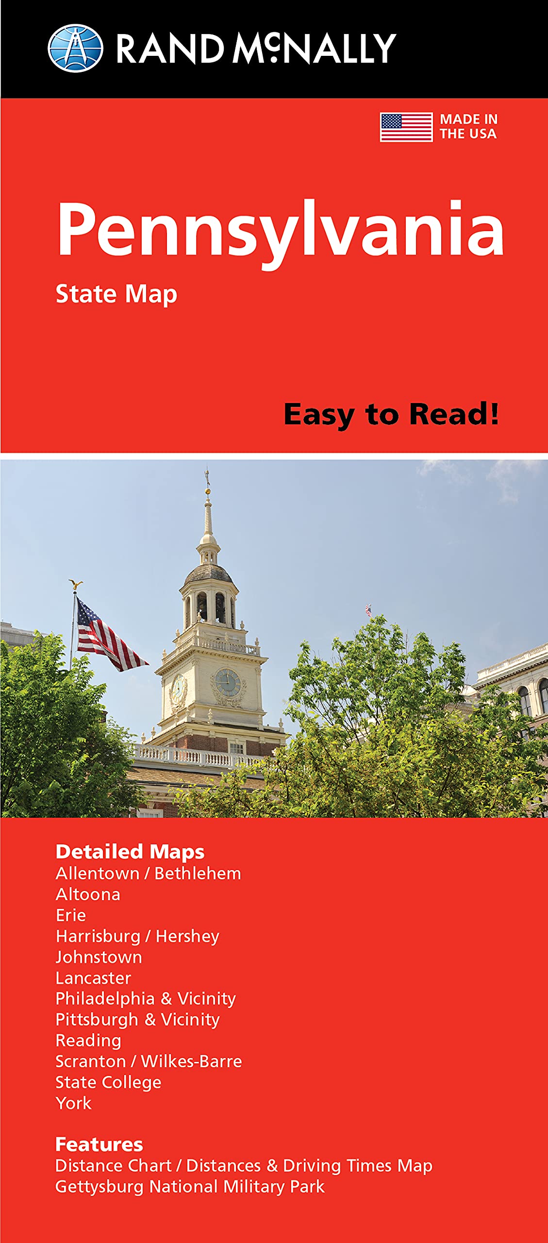
Rand McNally Easy to Read Folded Map: Pennsylvania State Map
Rand McNally Easy to Read Folded Map: Washington State Map
Rand McNally Easy To Read: Illinois State Map
Rand McNally Easy To Read Folded Map: West Virginia State Map
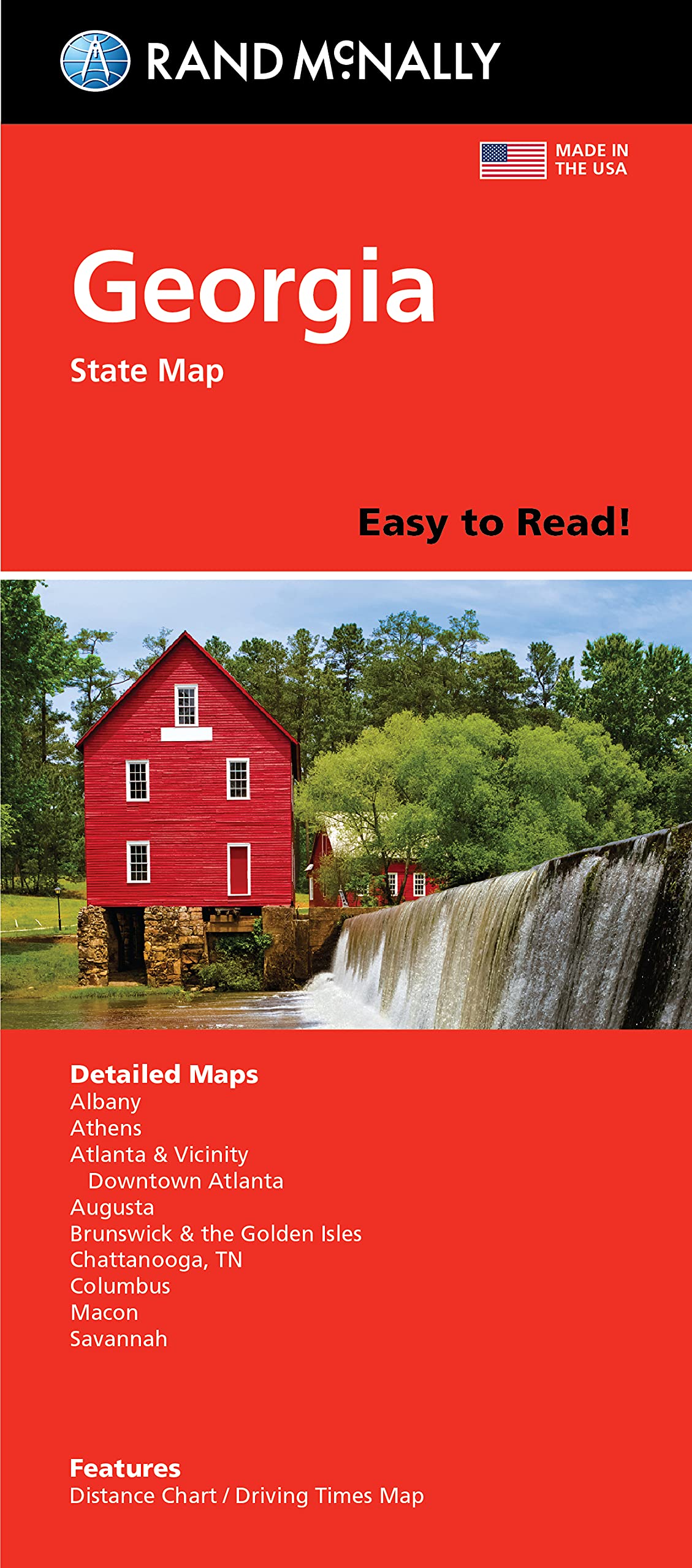
Rand McNally Easy To Read Folded Map: Georgia State Map
Rand McNally Easy to Read Folded Map: New Hampshire, Vermont State Map
Tod2Teen India Map Wooden Knob Jigsaw Puzzle Tray for Kids - Learn Indian States, Capitals & Union Territories with Fun - Pre-Schooler Educational Toy – Jigsaw Geographical Puzzle Game – Multicolor
Allen Turtle India Map All Capital states wall poster 12 X 18 Inches HTS45
Rand McNally Easy to Read Folded Map: Colorado State Map
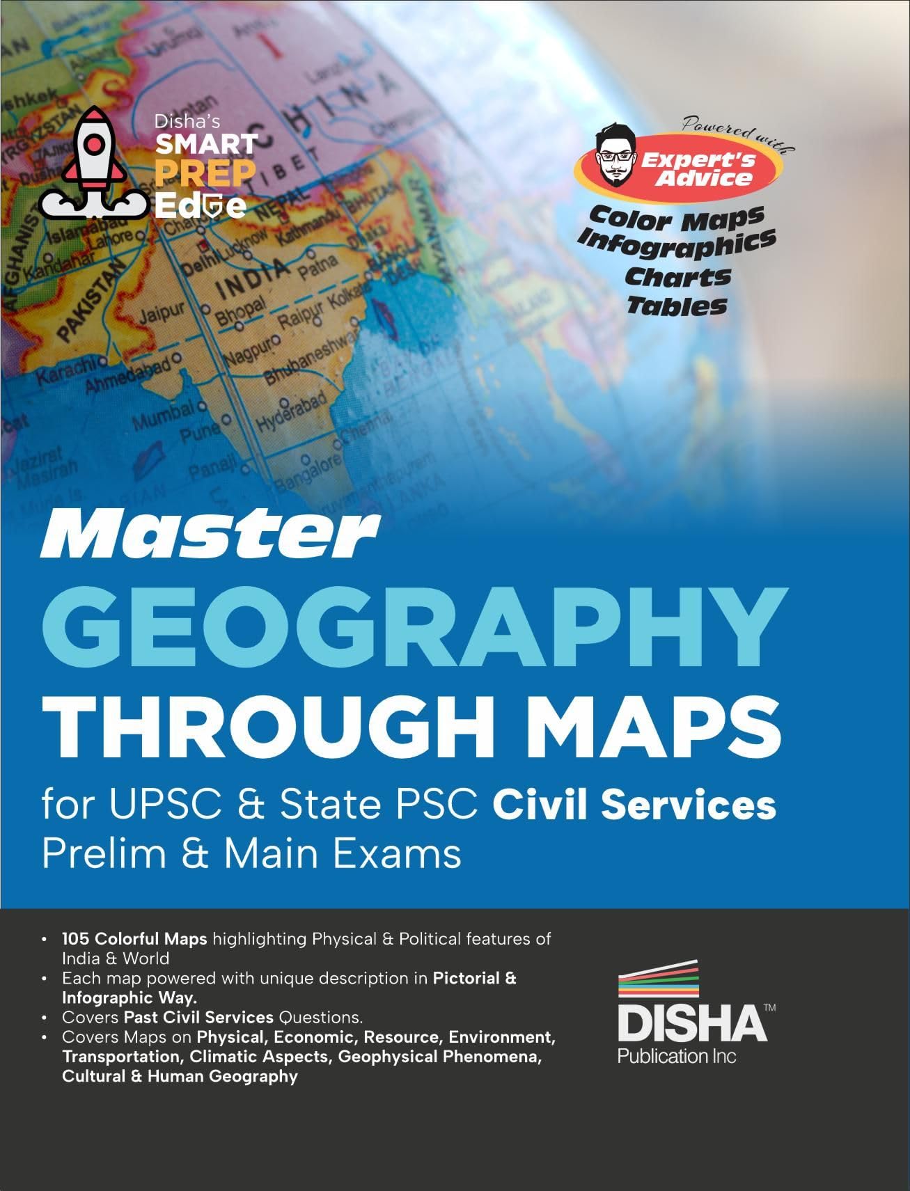
Master Geography through Maps for UPSC & State PSC Civil Services Prelim & Main Exams | Previous Year Questions PYQs | 105 Maps powered with 4 color, Expert’s Advice, Infographics, Charts & Tables |
Allen Turtle Dental Office Wall Decor Frame Dental Clinic Wall Dental Care Teeth For Hospital 12x18 Inches Framed Poster FRAM46
National Geographic Road Atlas 2025: Scenic Drives Edition [United States, Canada, Mexico] (National Geographic Recreation Atlas)
Rand McNally Easy To Read: Oregon State Map
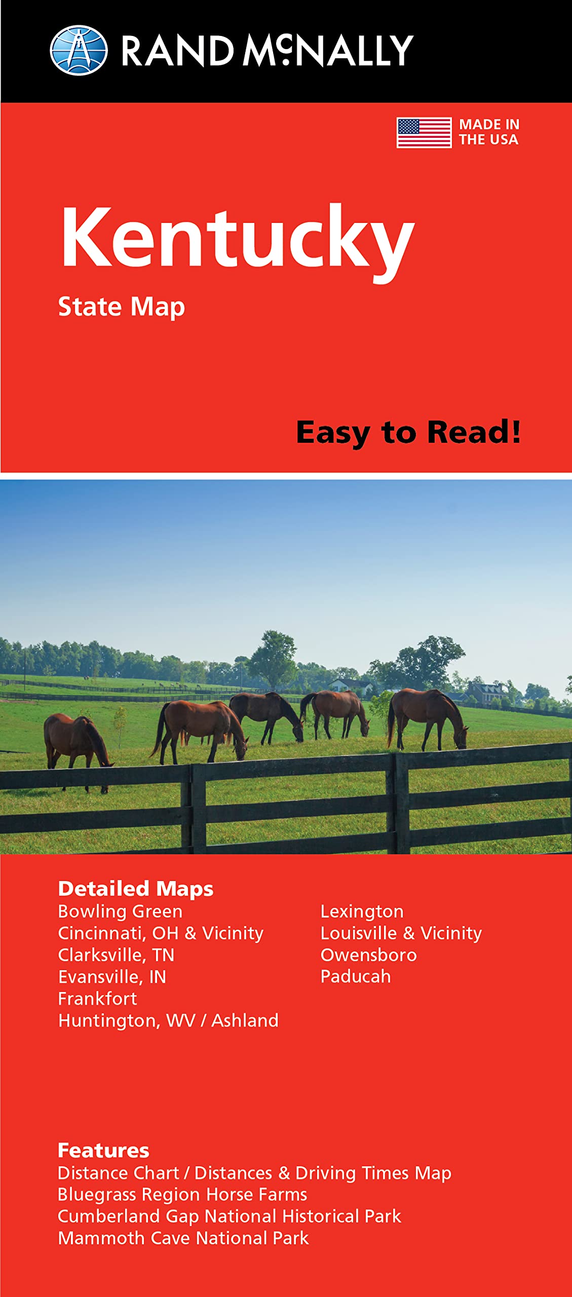
Rand McNally Easy To Read Folded Map: Kentucky State Map
KappaMapping Company United States Poster Size Wall Map 40 x 28 with Cities (1 Map)
Rand McNally Easy to Read Folded Map: Nebraska State Map
Rand McNally United States Interstate Easy Fold Map
XL Scratch Off Map of The World with Flags - 36 x 24 Easy to Frame Scratch Off World Map Wall Art Poster with US States & Flags - Original World Map Scratch Off Travel Map Designed for Travelers
Laminated World Map & US Map Poster Set - 18" x 29" - Wall Chart Maps of The World & United States - Made in The USA - Updated for 2020 (Laminated, 18" x 29")
Atlas & Green Scratch Off World Map Large 70x42cm | Ultra Detailed World Map Poster - All US States. Scratch Map World Accessories Kit Gift Tube. Travel Journal Wall Art - Deluxe Cartographic Map
Rand McNally Easy to Read Folded Map: Iowa State Map
Rand McNally Easy To Read Folded Map: Maine State Map
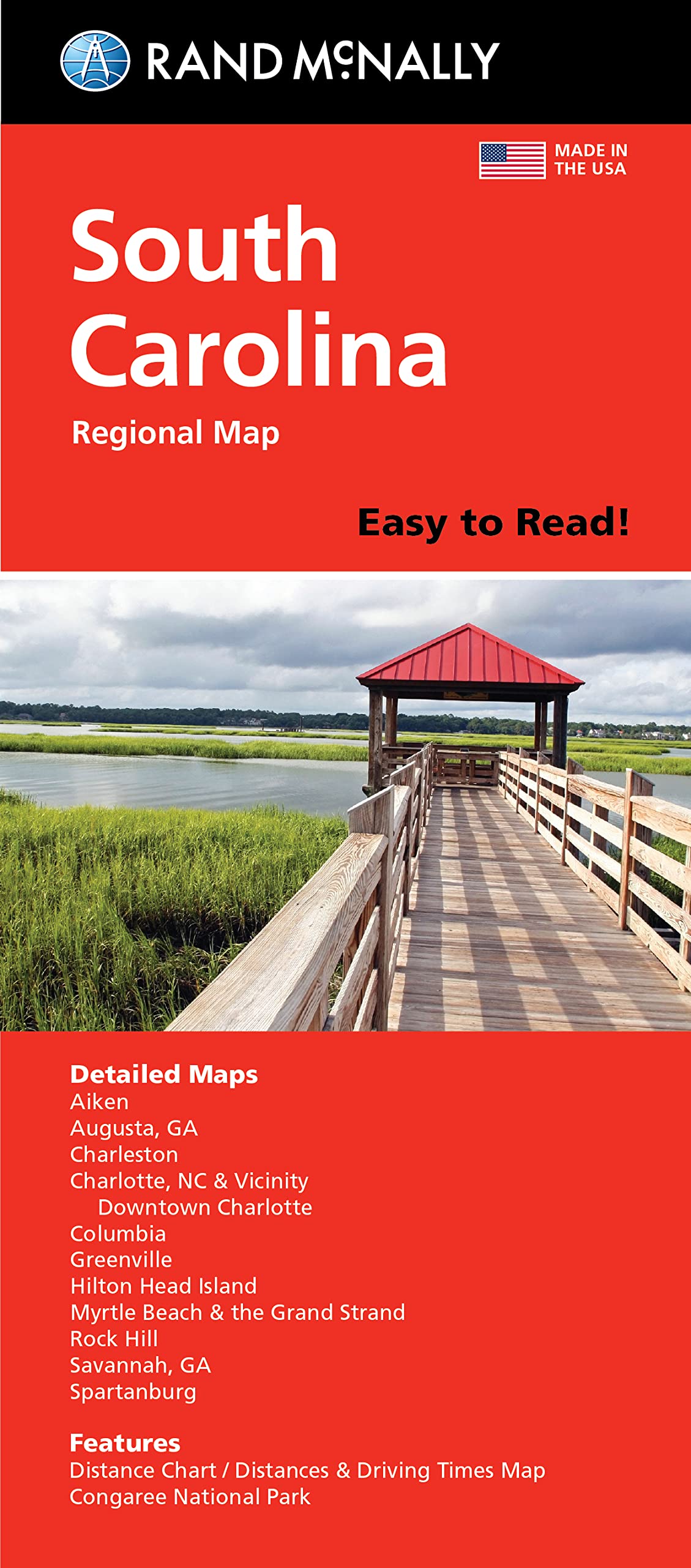
Rand McNally Easy To Read Folded Map: South Carolina State Map
Rand McNally Easy To Read: Delaware, Maryland State Map
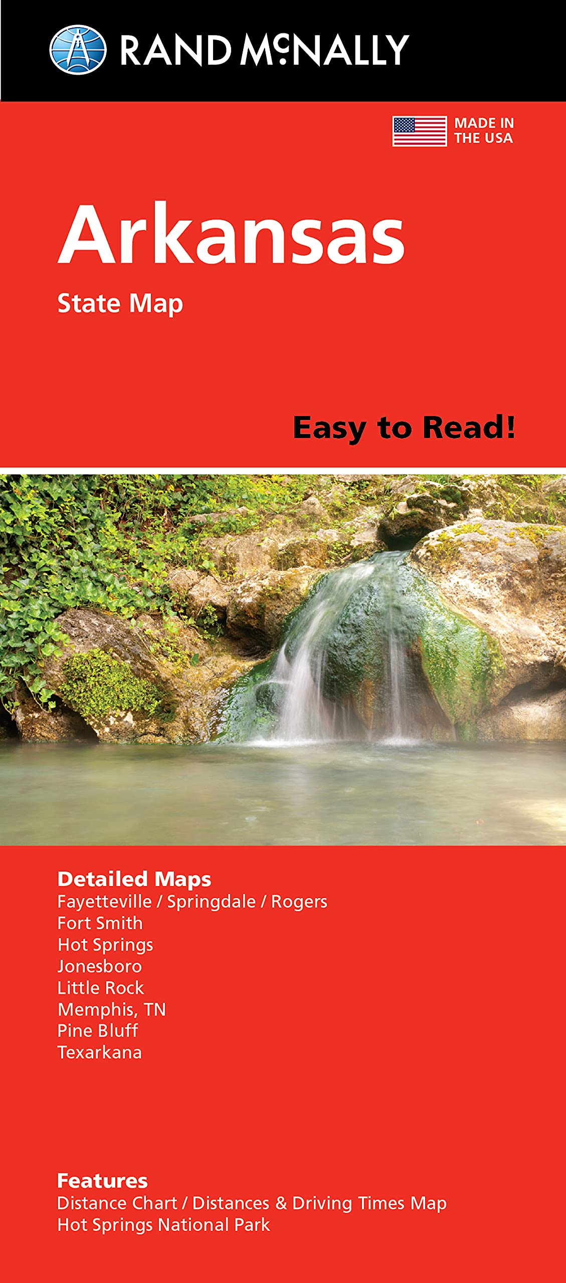
Rand McNally Easy To Read: Arkansas State Map
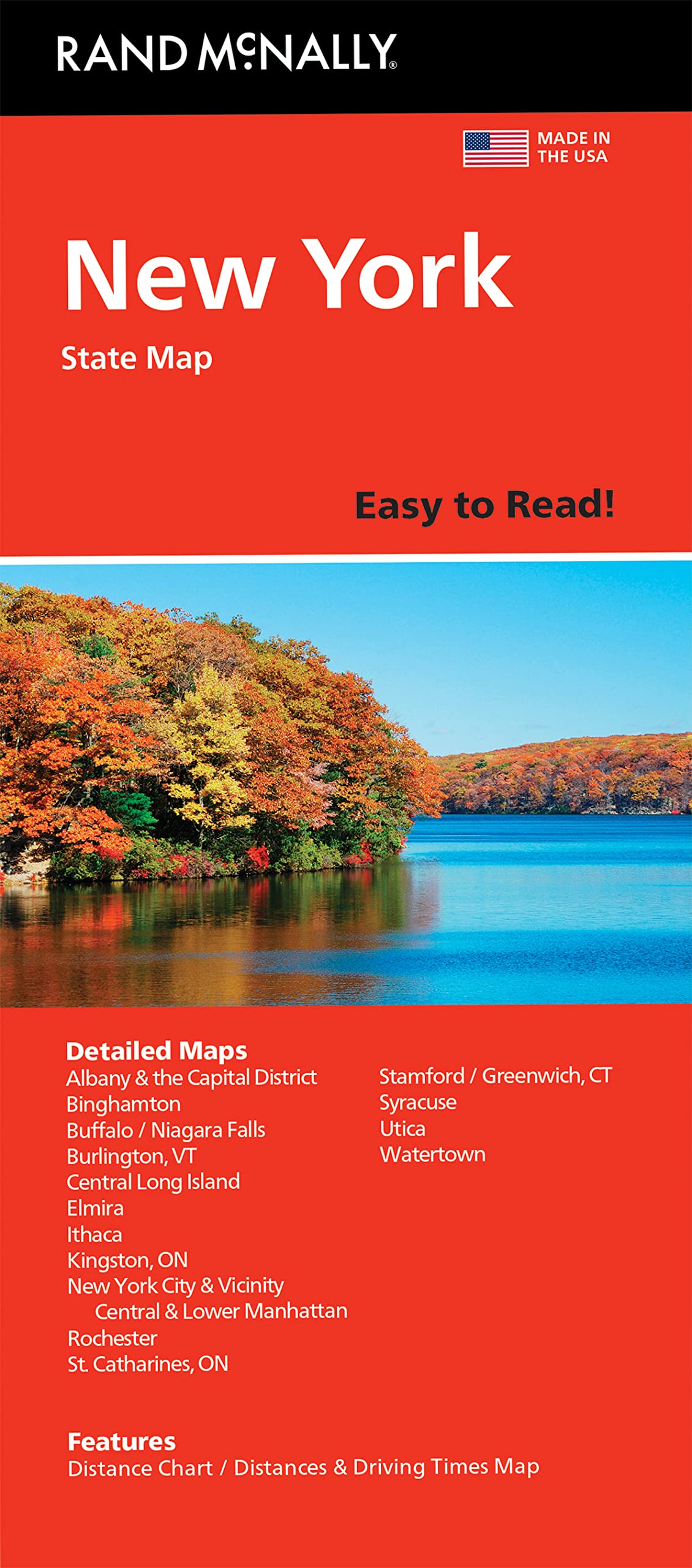
Rand McNally Easy to Read Folded Map: New York State Map
Rand McNally Easy to Read Folded Map: Alabama State Map
Arizona State Jumbo Map Magnet
Rand McNally Easy To Read Folded Map: Kansas State Map
Rand McNally Easy To Read Folded Map: Oklahoma State Map
Scratch Off Map Of United States, USA State Scratch Sticker, Travel Map Gift Adventure Wall Poster For Kids Adults (States)
Rand McNally Easy to Read Folded Map: Nevada State Map
Rand McNally Easy To Read: Missouri State Map Map – November 5, 2021
Laminated World Map & US Map Poster Set - 18" x 29" - Wall Chart Maps of the World & United States - Made in the USA (LAMINATED)
Rand McNally Easy To Read Folded Map: Massachusetts State Map
Rand McNally Easy To Read: Minnesota State Map
Rand McNally Easy To Read Folded Map: New Mexico State Map
Maps International Classic World Wall Map - Map of The World
Arizona: State Guide Maps
Palace Learning World Map and USA Map for Kids - 2 Poster Set - LAMINATED - Wall Chart Poster of the United States and the World (18 x 24)
Rand McNally Easy to Read Folded Map: Arizona State Map
SwiftmapsRMC Classic United States USA and World Wall Map Set 50Wx32H
Baltic States - Michelin National Map 781: Map
AMERTEER Scratch off World Map, lucky scratch map world poster, detailed map of the world with capitals, states, cities, scratch map deluxe edition
Colorfull Worlds 3D Wooden World Wall Art, Multilayered Travel Wall Art with States and Capitals, Wall Decor For The New House, Office Decor, Birthday Gift (M_, Sirius)
India Map Coloring Book: Political Maps Of Indian States & Union Territories
Georgia: State Guide Maps
Scratch Off Map of The World Poster - Travel Gift + BONUS USA Scratch Map - Maps International - 50 Years of Map Making - Cartographic Detail Featuring Country & State Borders
Scratch Off Map of The World + Premium Scratch Off USA Map, Accessories and Gift Packaging | Personalized Travel Map Poster with Outlined States, Flags and Beautiful Colours | Manufactured in the EU
OVANTO Scratch Off World Map - 17x24 World Map Poster, The Only Travel Map with Super Easy Scratch Foil, Flags, Capitals, Population, Monuments, Landmarks, Time Zones. Extra Accessories in a Gift Box
Scratch Off World Map + Scratch Off USA Map Travel Poster | US States and World Country Flags Detailed in Large 30" x 17" Size Scratchable Tracker Poster | Premium Travelers Wall Set (White/Gold)
Rand McNally Easy to Fold: Virginia State Laminate
Scratch Map Original Scratch off Map, Personalized World Travel Map Poster with countries, states, cities, Manufactured in the UK
The Civil War: The Story of the War with Maps
Rand McNally 2024 Large Scale Road Atlas - 100th Anniversary Collector's Edition
WebbyWooden Educational India Political Map States Capital Learning, Board Puzzle for 4, 5, 6, 7, 8 Year Old Kids
Classic Magnets Made with Pride in the USA United States Jumbo Country Map by Collectible Souvenirs
Victoria State & Suburban Map 370 30th
24x36 World Classic Wall Map Poster Paper Folded, New, .
New York: State Guide Maps


![National Geographic Road Atlas 2025: Adventure Edition [United States, Canada, Mexico] Spiral-bound – June 10, 2024](https://m.media-amazon.com/images/I/81rRihqWqgL.jpg)


![National Geographic Road Atlas 2025: Scenic Drives Edition [United States, Canada, Mexico] (National Geographic Recreation Atlas)](https://m.media-amazon.com/images/I/814R4OsGtCL.jpg)